cohunter14
Administrator
- Jul 10, 2017
- 5,375
This is a map study we did a few years back. I\'m going to copy the info here so we can go through it again:
There has been a lot of questions going around about where to hunt in Colorado. How do you pick a unit and, once you do, where do you go? The CPW website has a lot of useful information to help you pick a unit including estimated herd sizes as well as estimated success rates for each season. These can help you get an idea on where to start. So, once you boil it down to a unit or two, where do you go from there?
The CPW has a hunting atlas available here: <!-- m --><a class=\"postlink\" href=\"http://ndis-flex.nrel.colostate.edu/HuntingAtlas/\" onclick=\"window.open(this.href);return false;\">http://ndis-flex.nrel.colostate.edu/HuntingAtlas/</a><!-- m -->. On this site, you can zoom into locations, toggle back and forth between aerial maps, topo maps, and a basic street map. You can also select a number of things that are relevant for finding elk, including summer ranges and concentration areas, winter ranges and concentration areas, as well as migration routes and corridors.
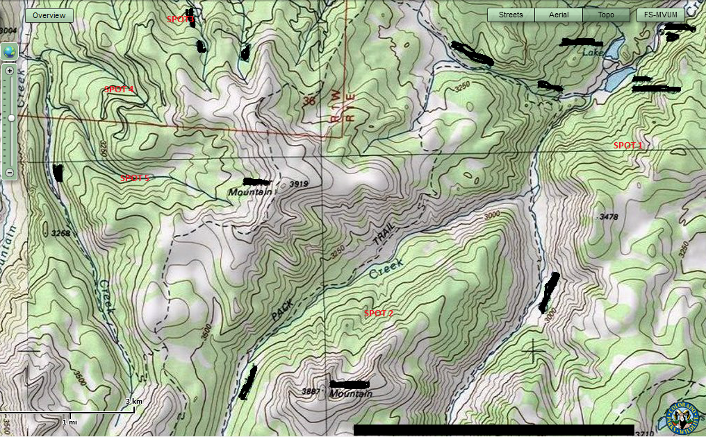
Here is a screen shot of a random area that I just pulled up. I covered up all of the relevant information using paint, so hopefully I am not giving away information on someone\'s honey hole
[attachment=0]<!-- ia0 -->1.png<!-- ia0 -->[/attachment]
You can see that I included all of the summer components for this area as well as the migration information. The basic pink area is the entire summer range, while the area with pink hash marks is the summer concentration area. These are defined by the CPW as follows:
Summer Range: That part of the range of a species where 90% of the individuals are located between spring green-up and the first heavy snowfall, or during a site specific period of summer as defined for each DAU. Summer range is not necessarily exclusive of winter range; in some areas winter range and summer range may overlap.
Summer Concentration: That part of the summer range of a species where densities are at least 200% greater than the surrounding summer range density.


